Interactive zoo map
Every enclosure, path and useful place on one map you can pan and zoom freely.
The interactive map shows you where the animals live – and finds the way there. The map itself is stored on your device, so it is there even when there is no signal under the trees.
Free · For iPhone and Android · Deutsch, English, Polski · Map data stored offline
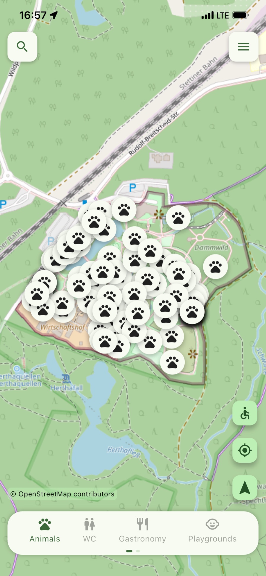
Find your way at your own pace – no paper map, no searching.
Every enclosure, path and useful place on one map you can pan and zoom freely.
The map is stored on your device, so you stay oriented wherever mobile coverage does not reach.
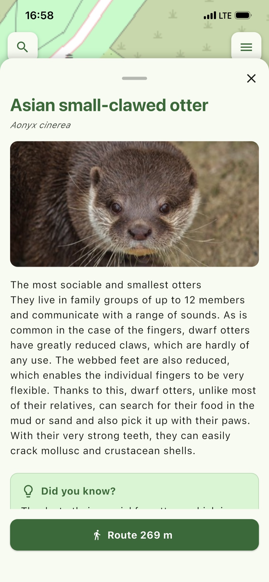
The app shows your position and suggests a walking route to your next stop – including the distance in metres. The route is calculated on the server and needs an internet connection.
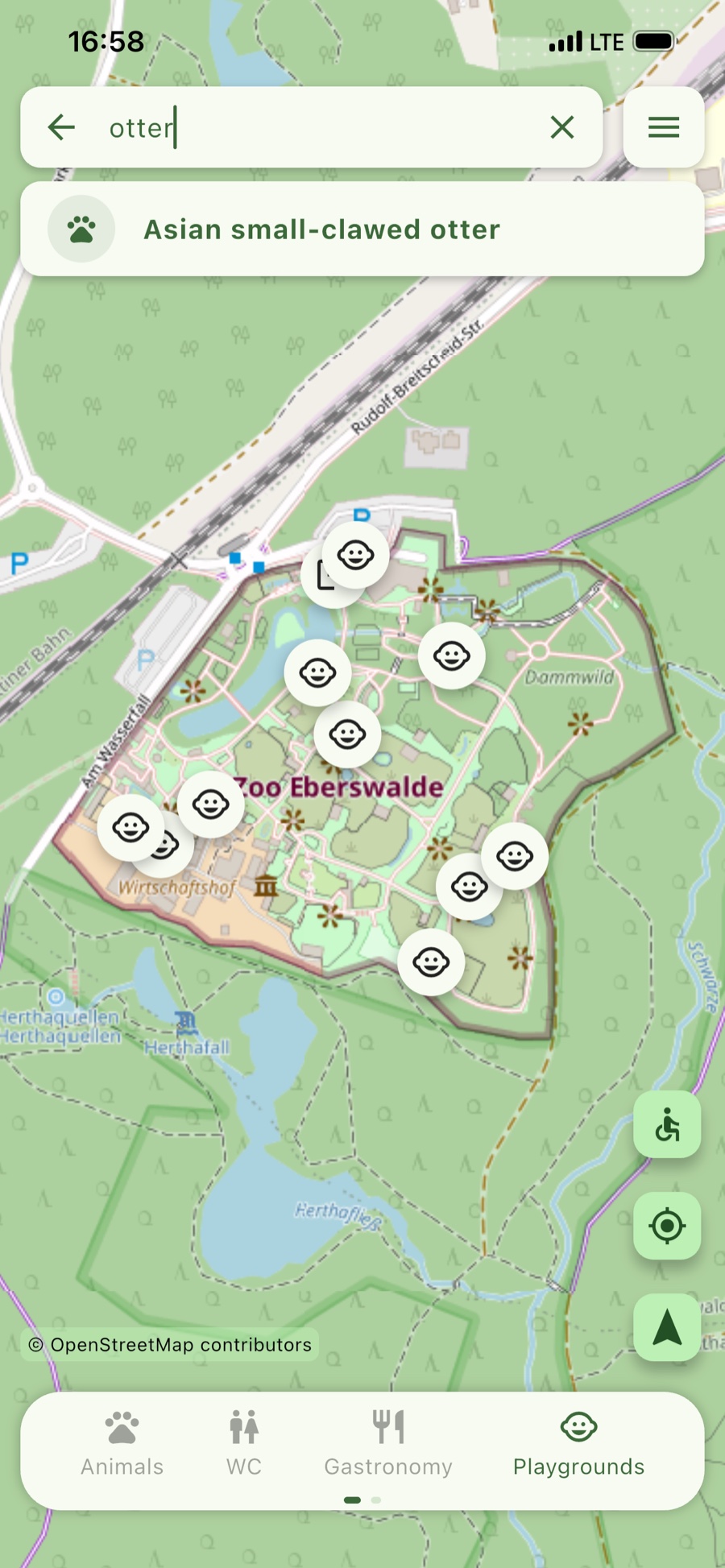
Type a name, tap the result, go. The search takes you straight to the right enclosure.
A photo, the key facts and small discoveries about habitat, size, age and diet.
One tap filters the map for animals, toilets, food or playgrounds. Feeding and opening times live in the menu.
On request, the route calculation prefers wheelchair-accessible paths – switched on with the wheelchair button at the right-hand edge of the map. Whether a given path is fully usable in a particular case depends on conditions on site.
Six views from a normal day at the zoo – from the overview map to live directions.
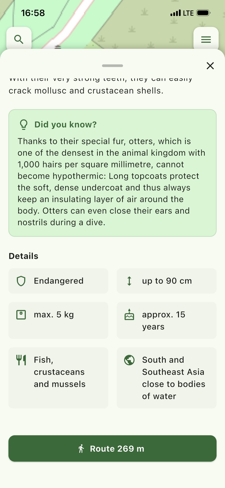
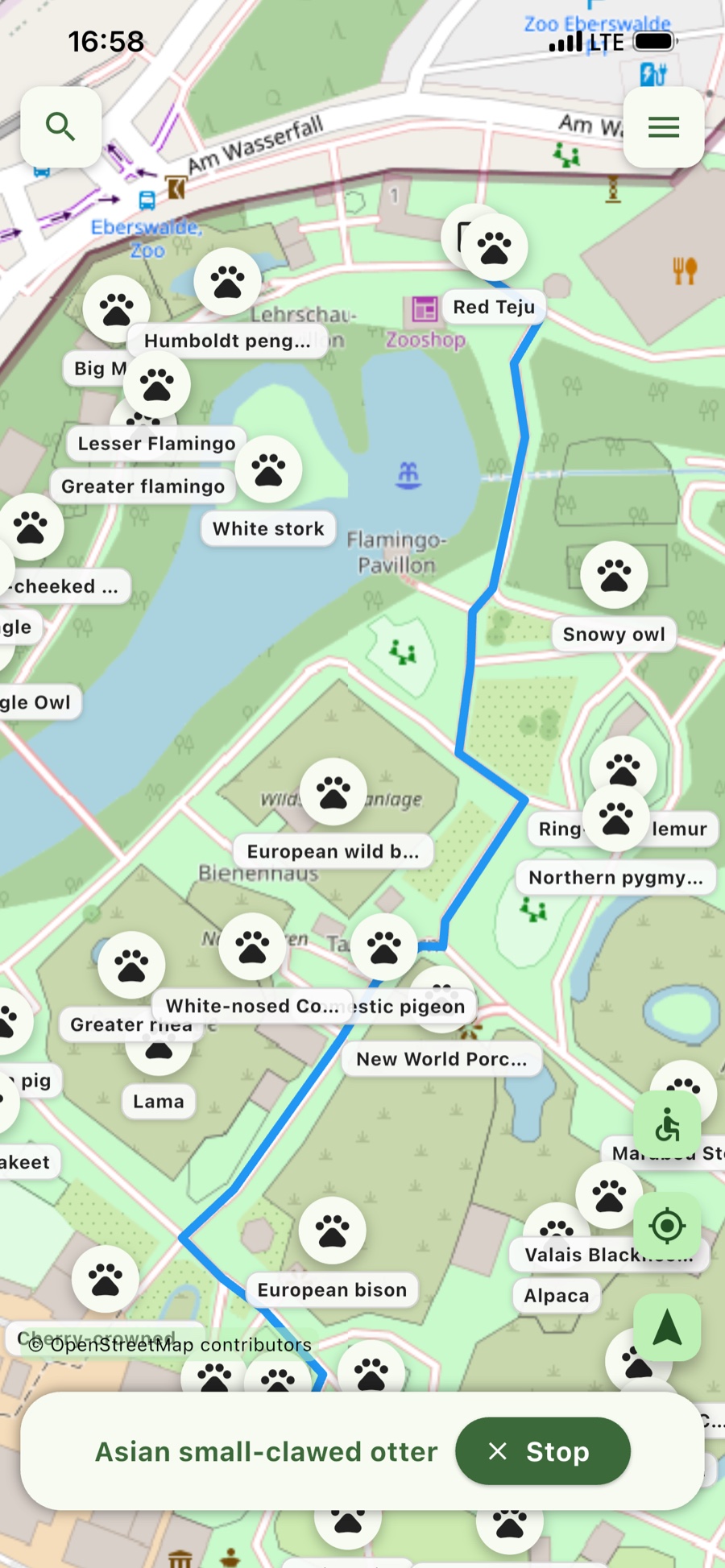
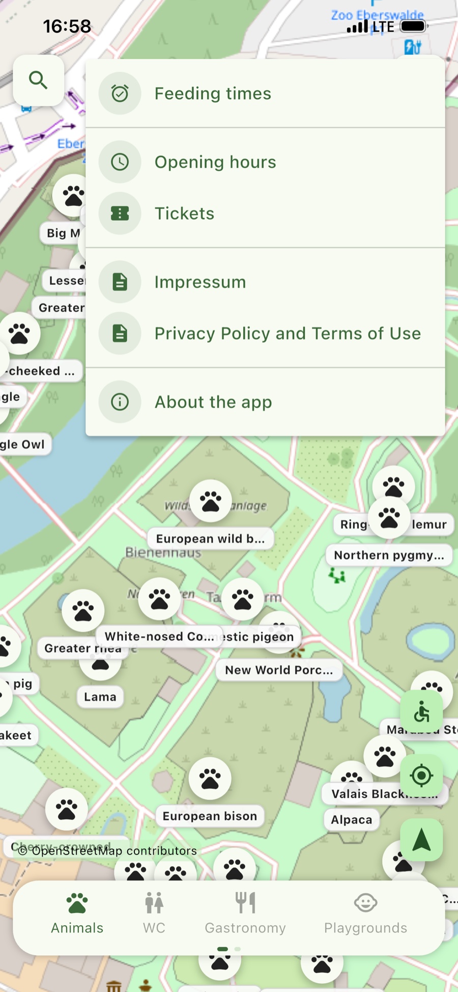
The app is here to help you find your way – not to watch you.
The app is developed and maintained jointly by Zoo Eberswalde, an institution of the town of Eberswalde, and Technische Hochschule Wildau.
An institution of the town of Eberswalde – responsible for the map content and animal information.
Development and technical operation of the app.
Special thanks go to Katrin Kampe for the initial idea, valuable suggestions and testing the app.
Nothing. The app is free of charge. There are no in-app purchases and no paid features.
Connection costs from your mobile or internet provider may apply for data transfer, for example when downloading the app.
Not for the map: the map data is stored on your device, so you can get your bearings even where mobile coverage does not reach.
For directions, yes: the route is calculated on the server. Without a connection you will not get a route suggestion – the map itself remains usable.
The app uses your location only if you have granted location access. It is used to show your position on the map and to suggest a route to your chosen destination.
To calculate the route, your location is sent to the app's server and processed there only for the duration of the request. Details are set out in the privacy policy of the app.
Yes. Using the button with the wheelchair symbol at the right-hand edge of the map, you can set the route calculation to prefer wheelchair-accessible paths.
The feature draws on the path information stored in the app. We cannot promise that a given path is fully usable without restriction in every case – conditions on site always take precedence. Your selection applies only to the individual request and is not stored permanently.
German, English and Polish. The app follows your device language setting.
Tap the magnifying glass at the top left and type a name – “otter”, for example. Select the result to open the animal profile and get directions to the enclosure.
In the menu at the top right. It also holds tickets, the legal notice, the privacy policy and information about the app.
Please write to mike.steglich@th-wildau.de. The support & contact page lists what to include.
If your question was not answered above, just write to us. The support page also lists what to include when reporting a problem.
Downloading the app at home is the easiest way – the map is then already on your device by the time you reach the entrance. The app is free of charge.